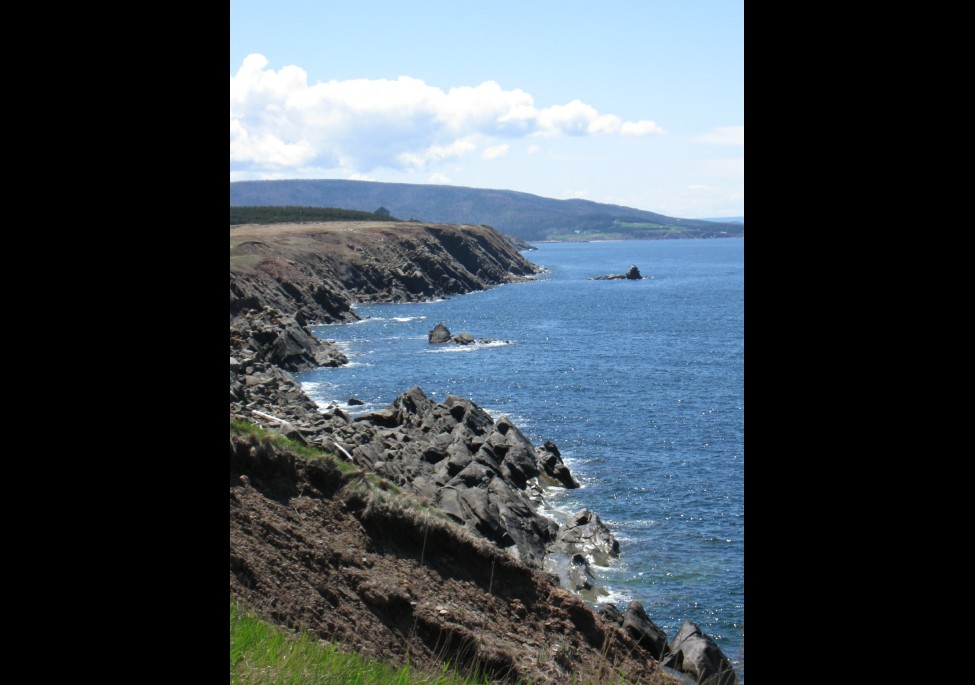
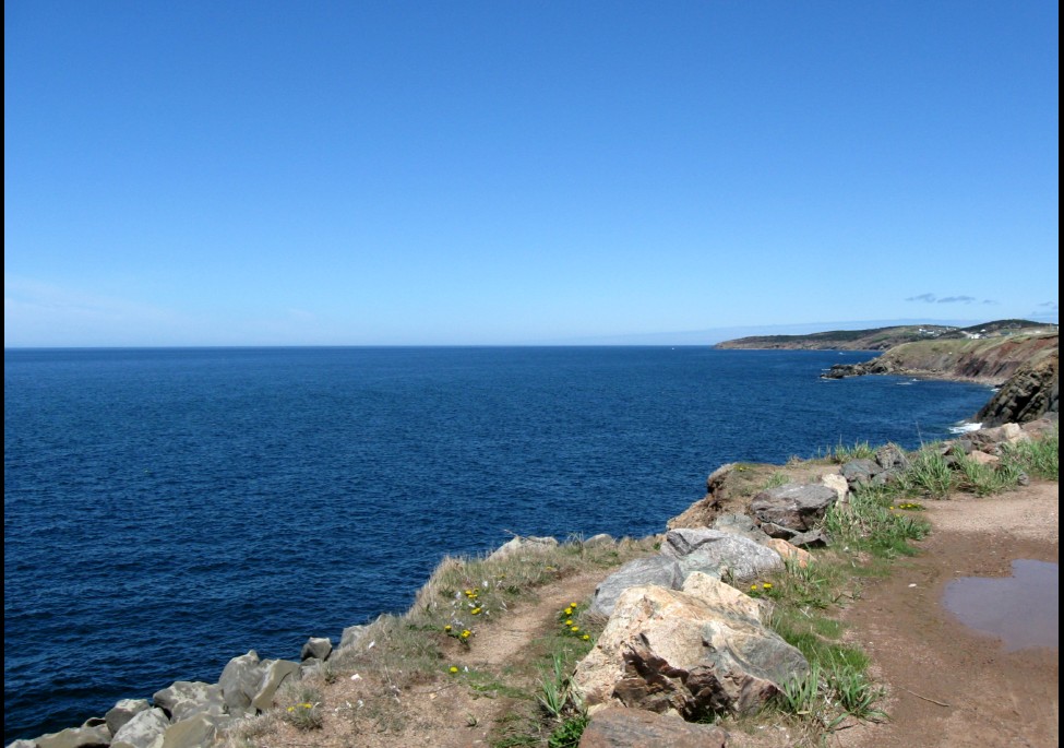
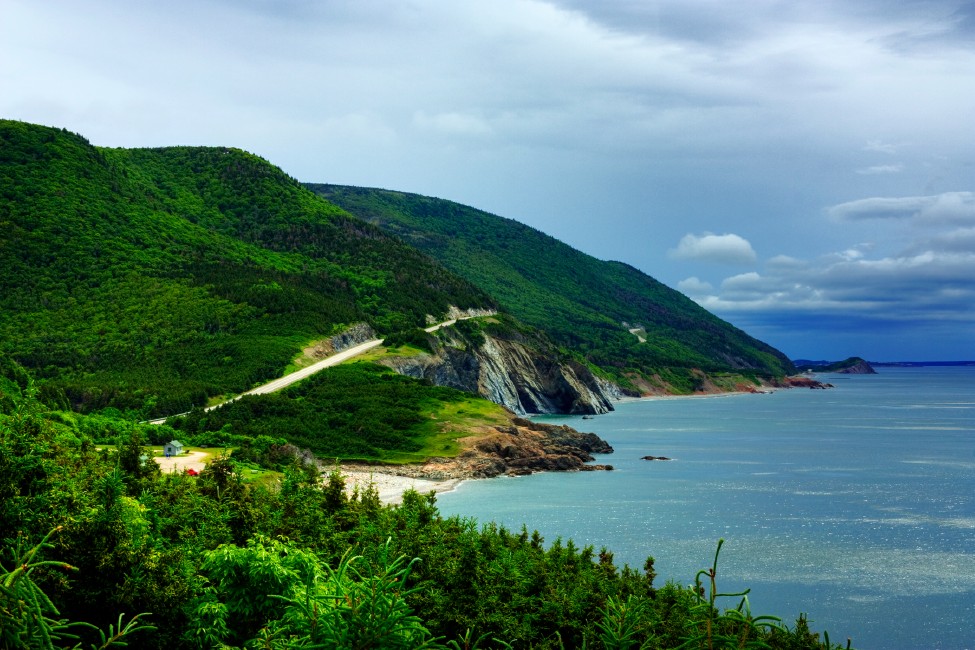
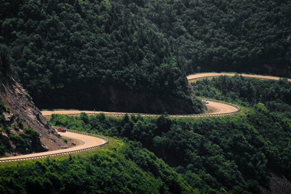
What) The Cabot
Trail is a highway and scenic roadway that measures 185 miles
in length and completes a loop around the northern tip of Cape
Breton Island. The northern section of the Cabot Trail passes
through Cape Breton Highlands National Park. The western and
eastern sections follow the rugged coastline, providing
spectacular views of the ocean. The southwestern section
passes through the Margaree River valley before passing along
Bras d'Or Lake. (1)
Where) We took Highway 19 to Margaree Harbour and continued around to St. Anns on Highway 105
Why) We had
a lot of spare time and from what I could tell it is one of
the major scenic attractions in the area.