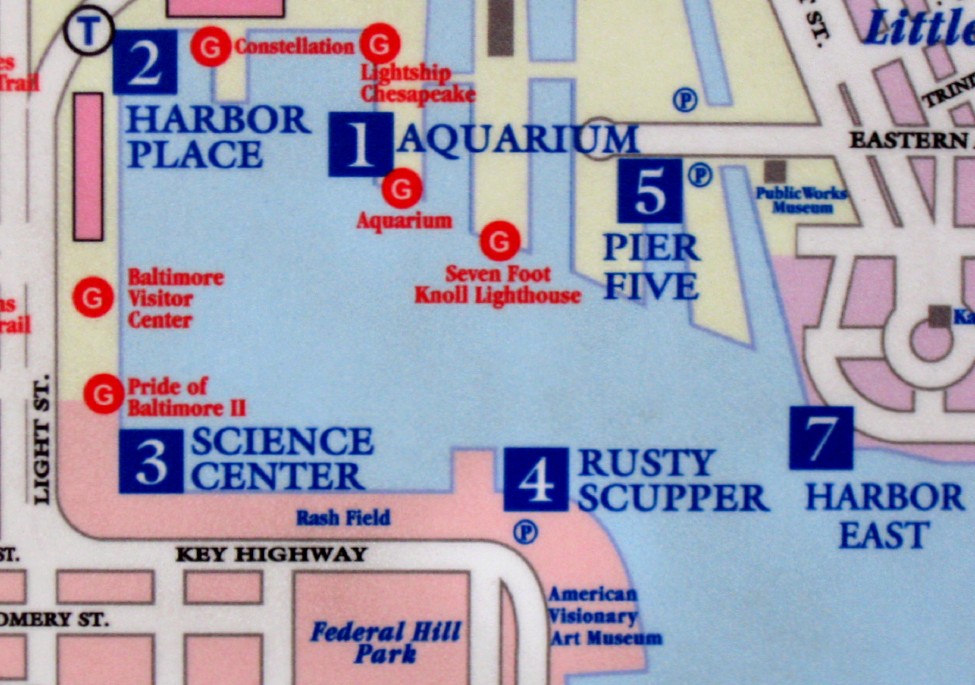
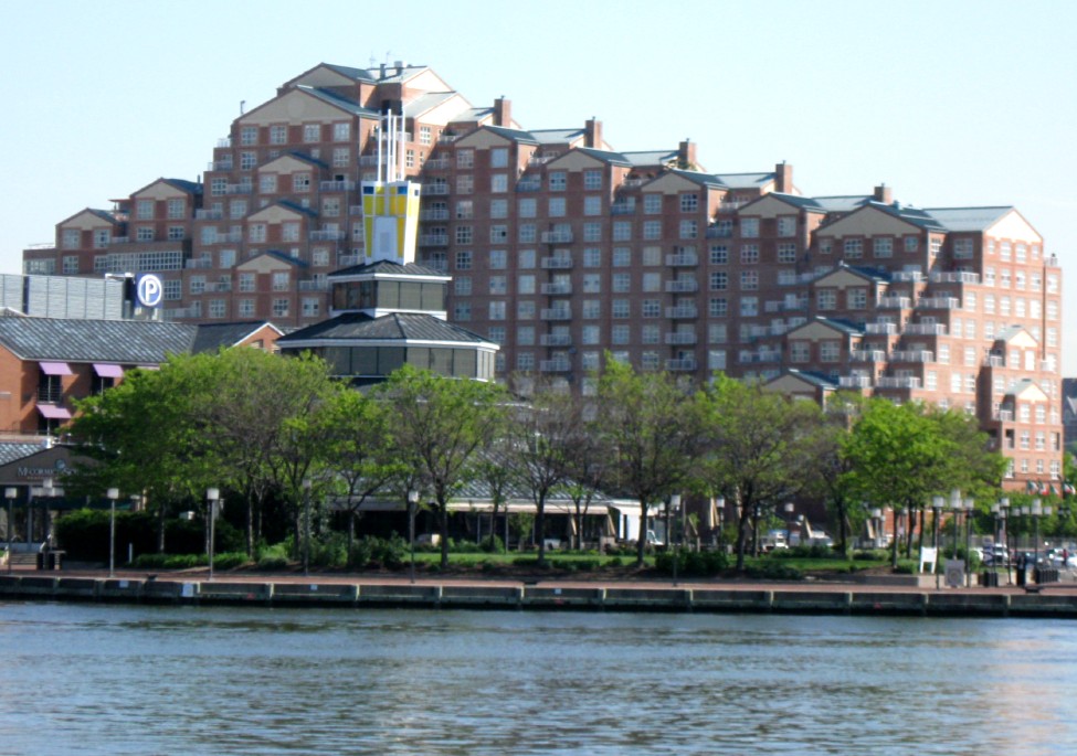
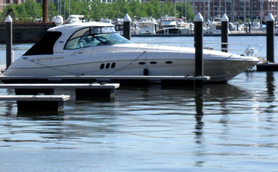
What) The Inner
Harbor is a historic seaport, tourist attraction, and landmark
of the city of Baltimore. It was described by the Urban Land
Institute in 2009 as “the model for post-industrial waterfront
redevelopment around the world.” The Inner Harbor consists of
the end of the Northwest Branch of the Patapsco River (an arm
of the Chesapeake Bay) and includes any water west of a line
drawn between the foot of President Street and the American
Visionary Art Museum. The name "Inner Harbor" is used not just
for the water but for the surrounding area of the city, with
approximate street boundaries of President Street to the east,
Lombard Street to the north, Greene Street to the west, and
Key Highway on the south. The harbor is within walking
distance of Camden Yards and M&T Bank Stadium and has a
water taxi that connects the Inner Harbor to Fells Point,
Canton, and Fort McHenry. (1)
Where) We started at 800 Key Highway
Why) We
arrived an hour before the opening of the Art Museum so we decided to walk around the
harbor for a bit instead. 
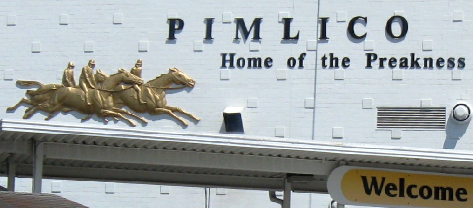
I do know that we ended the morning by driving to the Pimlico racetrack to watch a simulcast of Harborplace's race at Keeneland.
The race started well as Harb jumped out to the front group but it ended badly as Harb faded down the stretch and finished 5th. (2)