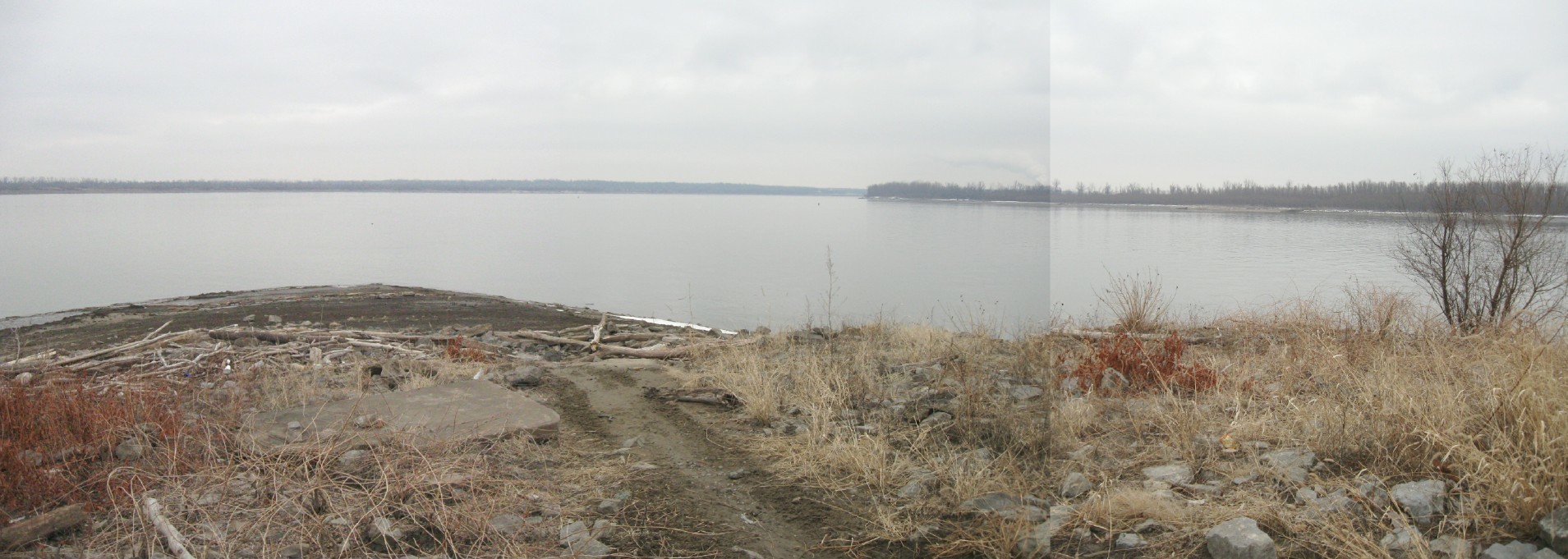
What) Fort
Defiance, known as Camp Defiance during the American Civil
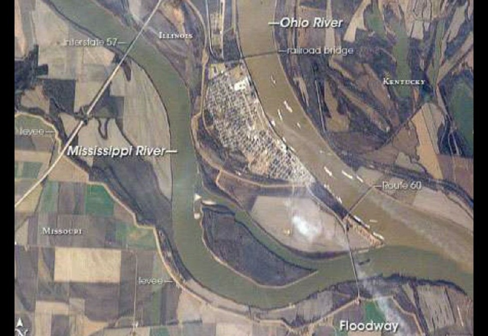
War, is a former military fortification located at the
confluence of the Ohio and Mississippi rivers near Cairo,
Illinois. The strategic significance of the site has been
known since prehistoric times with archaeological evidence of
warfare dating to the Mississippian era (800-1500 AD). It is
the southernmost point in the state of Illinois. Fort Defiance
Park, formerly a State Park, is owned and maintained by the
city of Cairo. At 279 feet (85 m) elevation, Fort Defiance
Point is also Illinois' lowest point. (1)
Where) Fort Defiance Road just past the intersection of Highways 51 and 60/62
Why) Over
the last few years, Pam has wanted to visit the confluence
(she doesn't use that word) of any major rivers that we happen
to drive by. We skipped the Missouri/Mississippi one in
favour of the Gateway Arch so there was
no way that we could miss this one. 
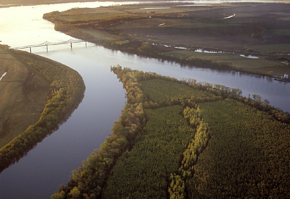
This picture taken from a plane shows a fork in the Mississippi just before it merges with the Ohio. (2)